Transportation and Transit Options in Virginia Beach, VA
Homes in Virginia Beach, VA currently sell for a median price of around $431,000, and properties spend an average of 25 days on the market. With inventory sitting at roughly 1,180 available homes, buyers weighing the pros and cons of living in Virginia Beach, VA are moving quickly.
When you're evaluating neighborhoods here, your daily commute matters just as much as the square footage. Whether you're driving to a job in downtown Norfolk or relying on the trolley to get to the boardwalk in July, knowing how this city moves helps you land in the right spot.
Arrival Routes and Nearest Airports
Virginia Beach connects to the broader East Coast through a network of major highways. Drivers arriving from the west typically use I-64, U.S. 460, or U.S. 58. Those coming from the north or south usually take I-85, I-95, or U.S. 17. If you want the most memorable approach, the Chesapeake Bay Bridge-Tunnel (U.S. 13) gives you a 17-mile route over and under the water - it's worth doing at least once.
For air travel, Norfolk International Airport (ORF) is your closest commercial hub, sitting about 12.7 miles west of the Virginia Beach city center.
Driving in from Norfolk
The driving distance from Norfolk International Airport to Virginia Beach is about 17.8 miles - roughly 27 minutes by car under normal conditions. From downtown Norfolk, the drive runs about 18 miles and takes approximately 21 minutes nonstop.
I-264 is the primary east-west highway through South Hampton Roads, directly connecting the central business districts of Chesapeake, Portsmouth, Norfolk, and Virginia Beach. That said, at peak traffic or during tourist season, the run between Norfolk and the Oceanfront can stretch to 30 or 45 minutes. If you're commuting that corridor daily, that's worth pricing into whichever neighborhood you're considering.
Public Transit and Park-and-Ride Services
Hampton Roads Transit (HRT) runs the regional public transportation system, covering bus routes and a light rail line. The light rail - called The Tide - extends 7.4 miles from the Eastern Virginia Medical Center complex through downtown Norfolk, terminating at Newtown Road right on the Virginia Beach border. The system has 11 stations and four park-and-ride lots with free parking for commuters.
Commuters heading into Norfolk also use the 757 Express, an intercity bus service that connects regional park-and-ride lots to the Downtown Norfolk Transit Center. The Silverleaf Park and Ride, for example, is set up specifically for Virginia Beach residents commuting to major employment centers.
The VB Wave Trolley System
During the warmer months, the VB Wave trolley handles a lot of the movement around the resort areas. Service typically kicks off in mid-May across three main routes.
Route 30 runs along Atlantic Avenue daily from 8 a.m. to 2 a.m., with trolleys arriving roughly every 15 minutes. Route 31 extends out to the Virginia Aquarium, running daily from 9:30 a.m. to 11:10 p.m. through Labor Day, then Fridays through Sundays until the Neptune Festival. Route 35, the Bayfront Bus, covers the northern shore daily from 8 a.m. to 12:30 a.m. through Labor Day before shifting to weekend-only service through the Neptune Festival.
Fares are straightforward: $2 for a one-way trip, $4.50 for an all-day pass.
Deciding Whether to Keep a Car
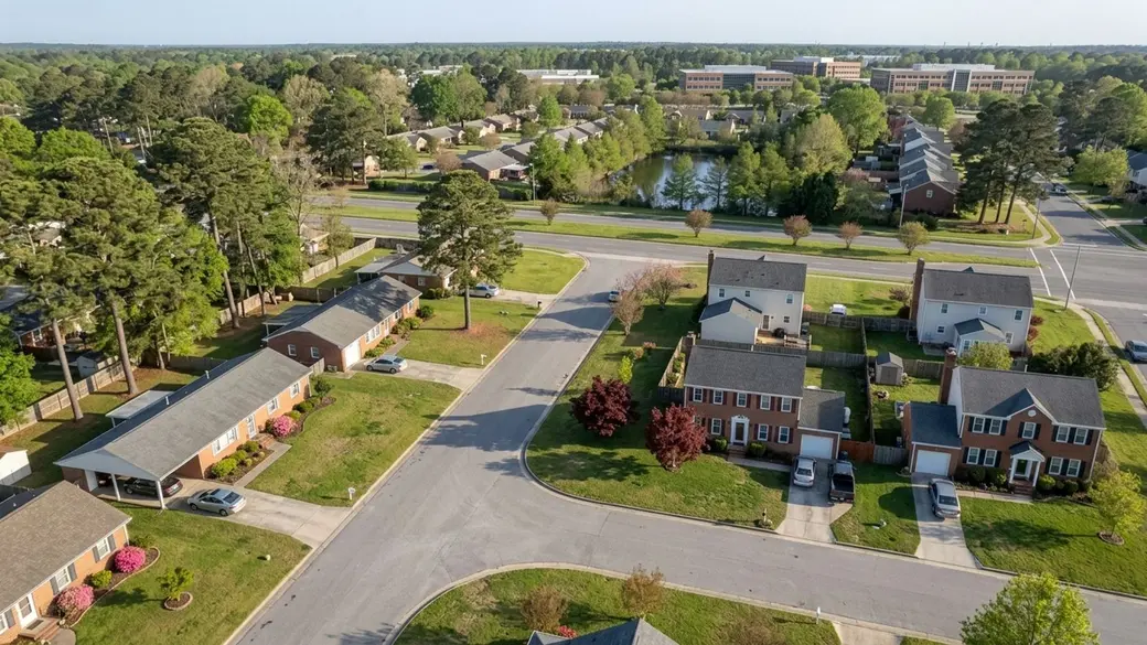
Most residents own a vehicle here, and honestly, that's not going to change anytime soon. Virginia Beach covers a large geographic area, and residential neighborhoods are spread well out from the commercial centers. Public transit serves the major corridors, but for groceries, school runs, and most office commutes, a personal car is simply the practical choice. Factor parking and commute times into your housing search from the start - they'll affect your decision more than you might expect.
When Relying on Rideshares and Walking Makes Sense
The Oceanfront district is the one part of the city where you can genuinely leave the car parked. Residents near the boardwalk can walk to restaurants, shops, and entertainment without any real effort. For trips outside that immediate resort area, Uber and Lyft both operate throughout the region, and taxis are easy to find near hotels and major attractions.
Frequently Asked Questions
How do you get to Virginia Beach, VA?
You can drive in via major highways like I-64, U.S. 460, or U.S. 58 from the west, or cross the Chesapeake Bay Bridge-Tunnel (U.S. 13). If you're flying, Norfolk International Airport (ORF) is the closest commercial airport.
Do you need a car in Virginia Beach?
Yes, for most residents. The Oceanfront area is walkable and regional transit exists, but the city's large footprint makes a personal vehicle the most practical way to handle daily errands and commuting.
Is Virginia Beach walkable?
It depends on the neighborhood. The Oceanfront and boardwalk areas are built for pedestrians, but most inland residential subdivisions require a car to reach commercial centers.
How much does the bus cost in Virginia Beach?
The VB Wave trolley costs $2 for a one-way trip and $4.50 for an all-day pass. For standard Hampton Roads Transit (HRT) local bus routes, check the agency's current fare schedule directly.
How far is Virginia Beach from Norfolk?
About 18 miles from downtown Norfolk to Virginia Beach. That drive typically takes 21 minutes nonstop via I-264 East, though heavy traffic can push it to 45 minutes.
What are the best airport shuttle services to Virginia Beach?
Several private companies offer shuttle transfers from Norfolk International Airport. Since it's only about 17.8 miles from the Virginia Beach city center, many travelers just use rideshare apps or local taxis for the 27-minute drive.
What accessible transportation options are available in Virginia Beach?
Hampton Roads Transit (HRT) provides regional public transportation, including The Tide light rail and local bus routes. For specialized non-emergency medical or senior transport, contact local private providers or the city's human services department for current programs.
Categories
Recent Posts